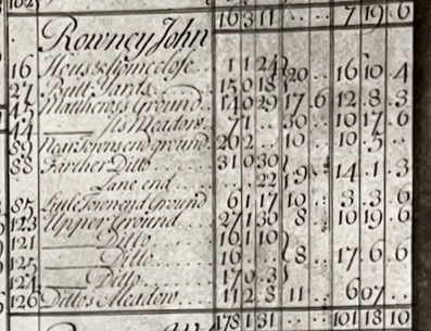
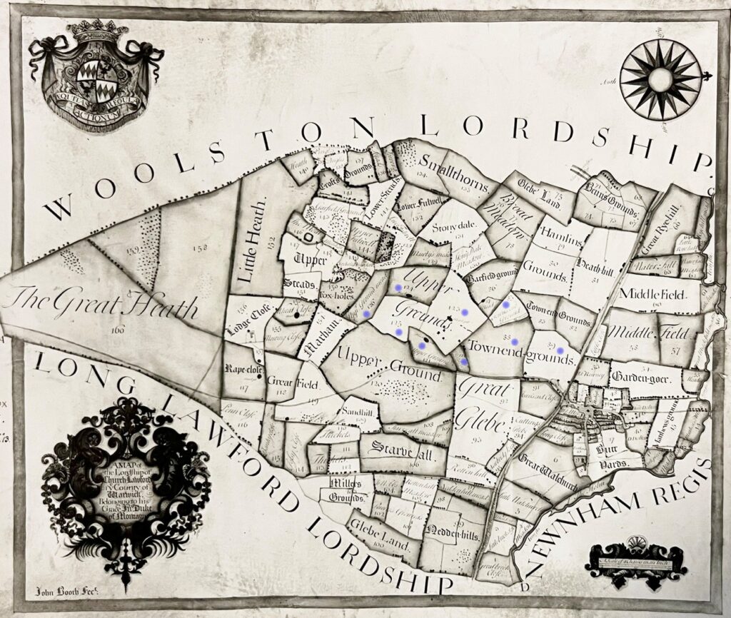
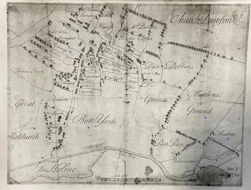
The various farms and smallholdings for Church Lawford, detailed in the 1720 tithe maps, are split down into the individual holdings. The blue dots on the cropped parish map highlight the tithe holdings for this individual. For a complete list of Church Lawford tithe-holders with links to their holdings, their village home (where applicable), and the overall parish map see here.
John Rowney farmed a number of areas close to the centre of the village, as well as some within the Parish, so his tithes are shown on two maps.


