Prior to the decisions made during the 1950s regarding street naming and numbering the lane now known as Green Lane was known as Little End – see here for details.
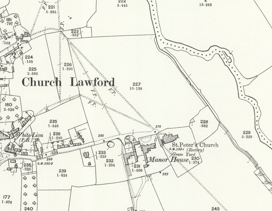
The above map is reproduced with the permission of the National Library of Scotland. It was produced in 1886 and revised in 1903/5. This map and more can be found via this link. There are different ways of navigating the maps there – the “Marker Pin” option is ideal for finding maps that cover a particular area, and the “Side By Side” viewer is excellent for comparing an old map with a current day view.
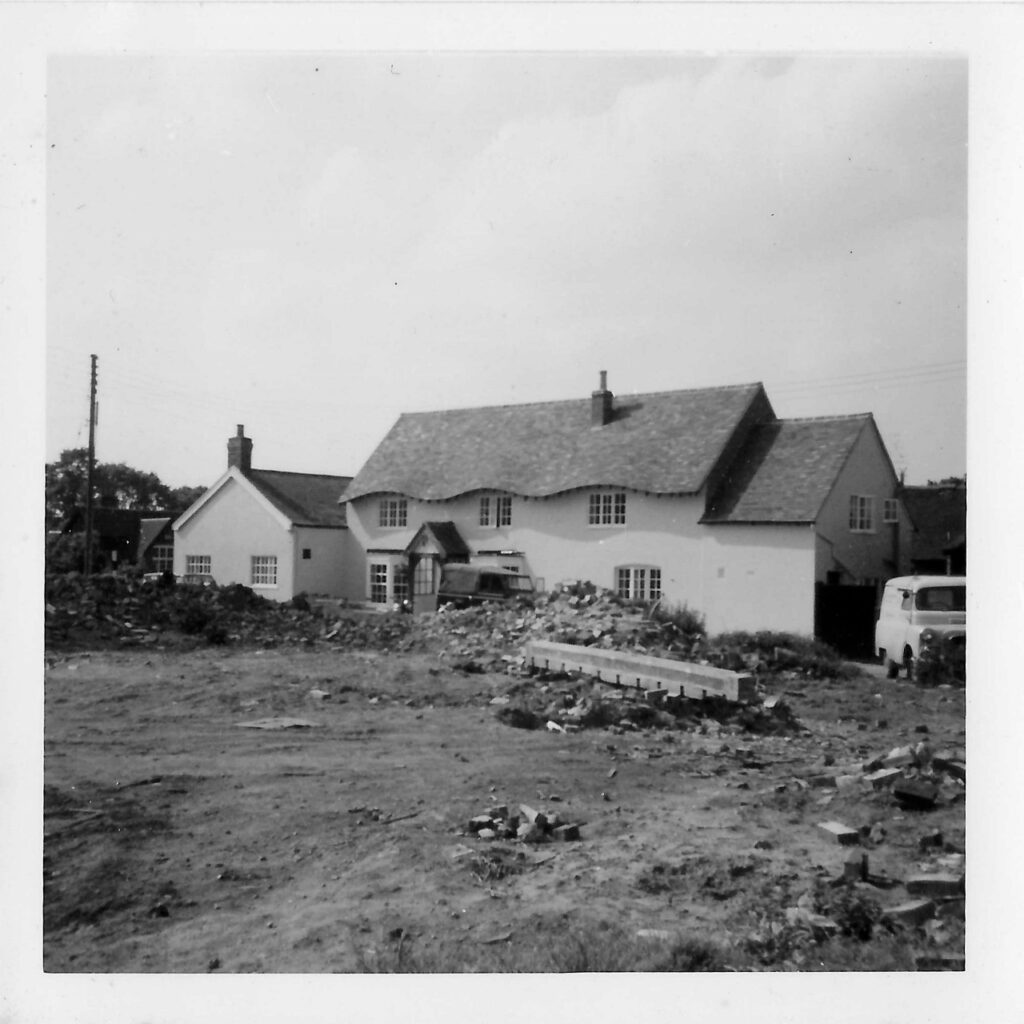
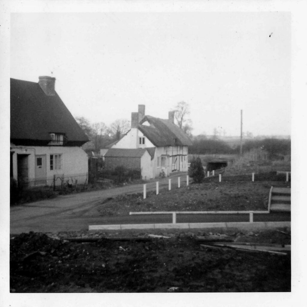
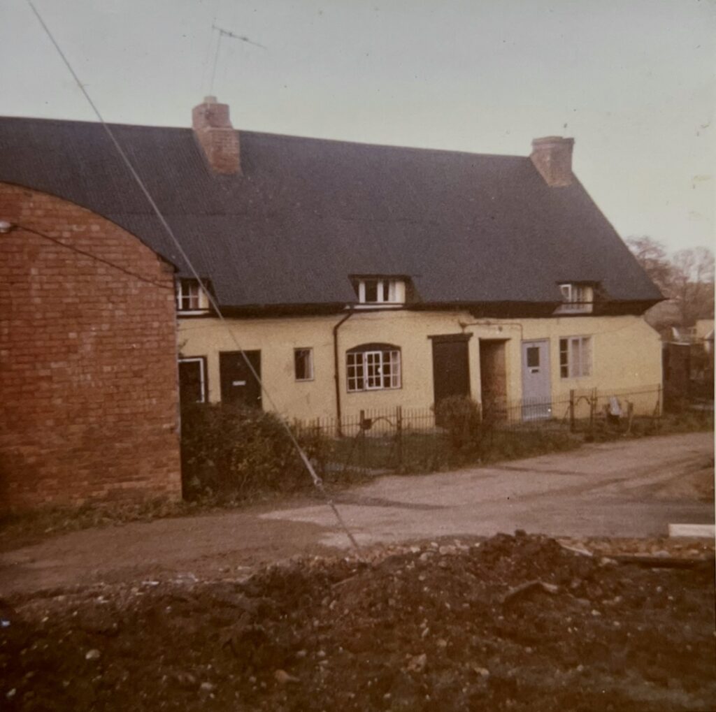
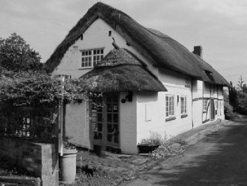
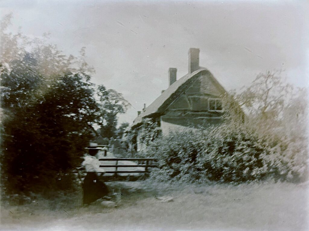
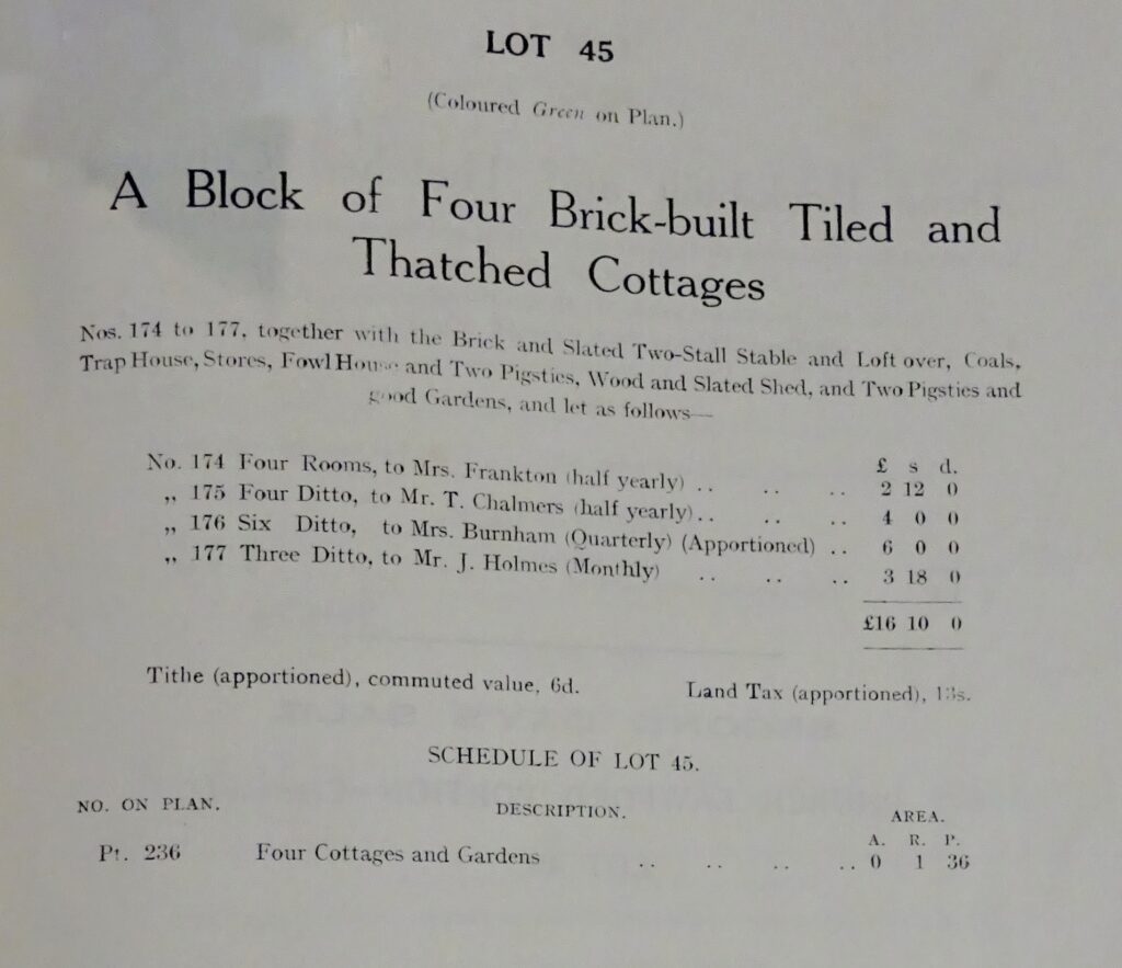
The original trio of cottages at the top of the lane were demolished in 1973 and what became known as Lane House was built. The cottages are discussed further here, and shown below. The cottages on the corner of Green Lane and into Church Road that fronted onto the village green were also pulled down shortly before that (shown as Lot 45 in the 1918 auction as detailed below) – for pictures of the clearance see the bottom of this page. A series of eight maps from around 1850 to 1970 help to show how the layout has changed over the years – it can be found here.
What were known as Cottages 171 and 172 remain in the modern Green Lane, with Cottage 173 making way for the bungalow at the bottom of the lane.
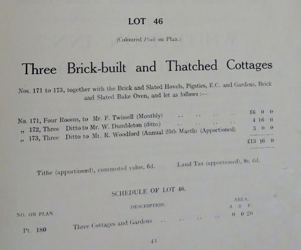
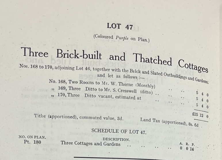
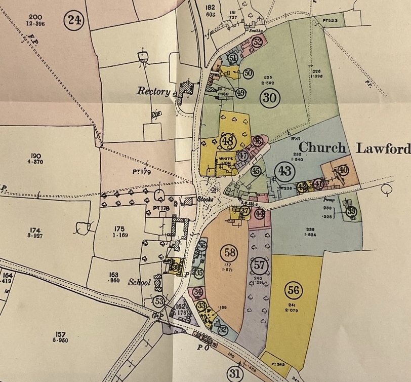
The entries for the cottages in the 1918 auction were as follows (including those fronting on to the Village Green partially in Church Road) – noted on the plan below them in the lot numbers and colours indicated:
After the cottages that fronted onto the green were demolished in the 1960s the work was recorded by a villager at the time.
