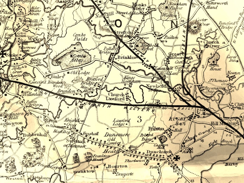
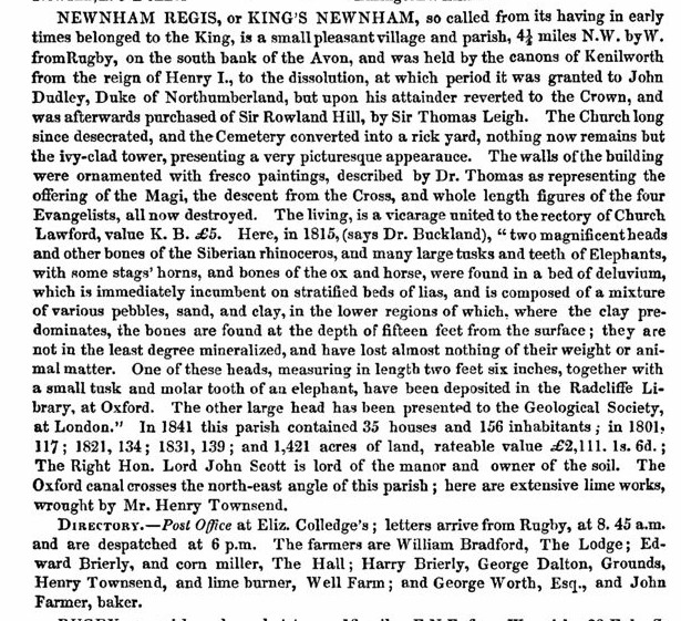
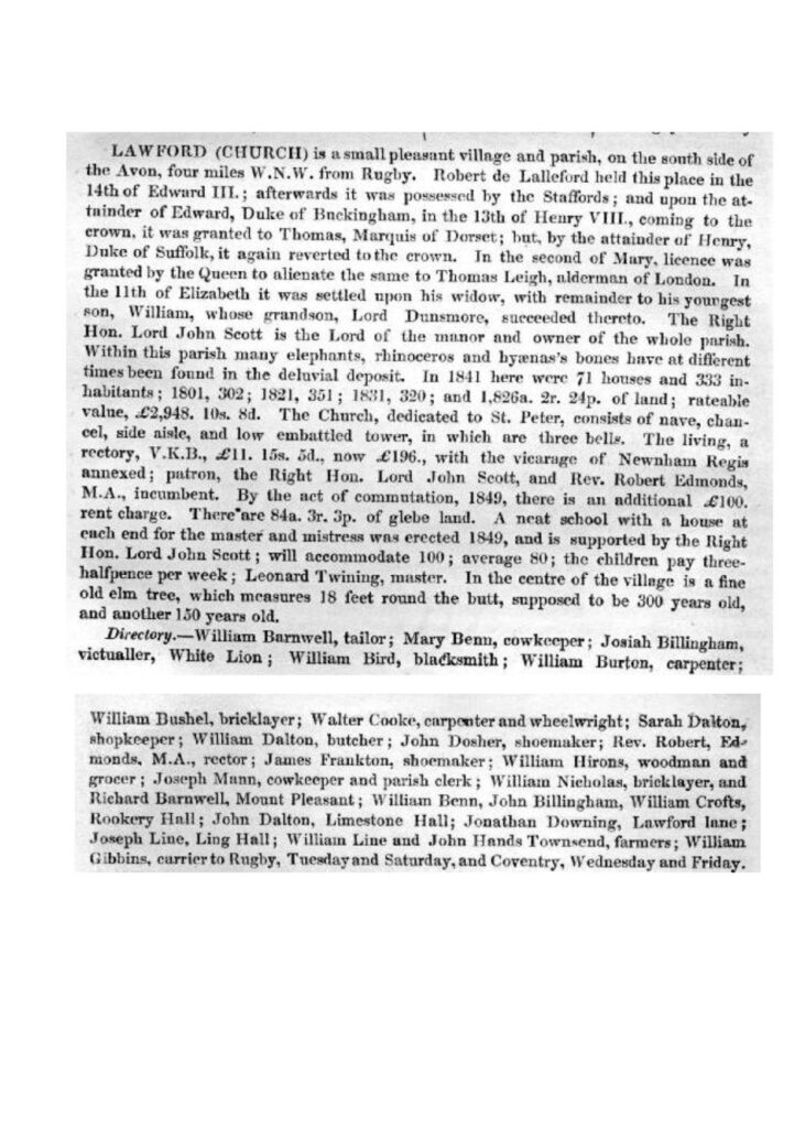
In 1850 a publication from F White & Co provided a comprehensive view of the County of Warwickshire, plus the city of Birmingham, right down to the village level – see below. Along with this text a map was produced especially for the guide, showing the whole of the county – and an extract of the local area is shown below. A full copy of the map can be found in the Warwick Records Centre in the Townsend Family Archive (CR1071/52).
Although the Map was produced independently from the work being done by the Ordnance Survey (discussed separately here), there are still many distinct points of interest, although there are also some mapping inaccuracies. It is one of the few maps to show the impressive line of Elm trees alongside London Road on Dunsmore Heath, the initiative of “John the Planter” discussed here. The layout of the roads in the two villages seems at odds with other maps, and the distinction between roads and tracks is rather blurred, notably around the area of the Bretford straight, and Stretton Under Fosse is shown as Stretton on Dunsmoor. The Oxford Canal route is shown based on the original “contour canal”, which was in existence until 1834, going to the west of Brinklow village, before the straightening was completed as detailed here.

Regarding the 1850 directory entries themselves, the entries for the two villages were are follows:-


