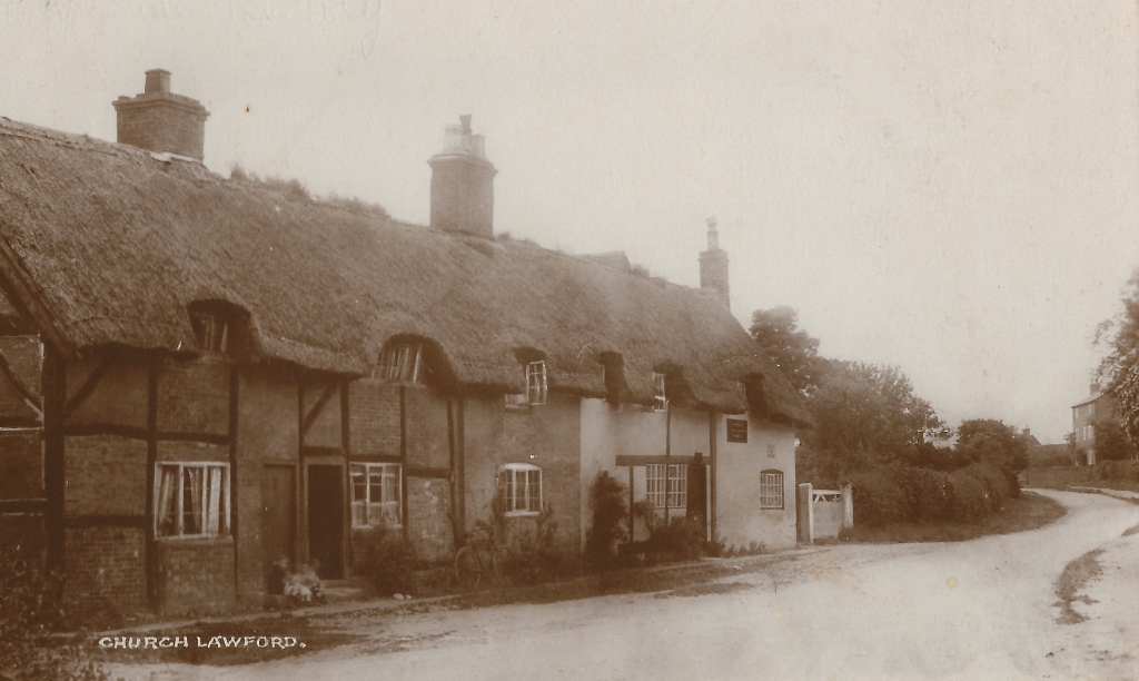
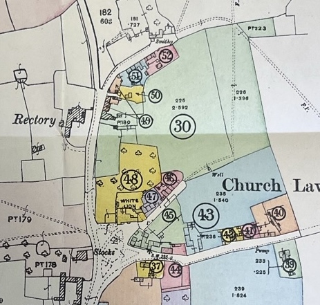
When the auction of village properties took place in 1918 the buildings opposite the rectory included looked similar to how they would look 100 years later.

Looking back at the old records for the village, the first detailed mapping of families to village locations is in the tithe mapping from around 1720, referenced in detail here. This suggests that the main smallholding area opposite the Rectory was then part of the rector’s holding (Thomas Dolben). It can be noted that the Bushell family are found at the property set back from the road on the corner of what became School Street and Smithy Lane over 200 years later.
The next detailed record is the 1801 church census record, which shows the Bushell / Bushill family still having a significant village presence, with two properties. One household headed by Thomas Bushill has an unusual five people recorded as tradesmen. The other, in the charge of William Bushill relates to agriculture.
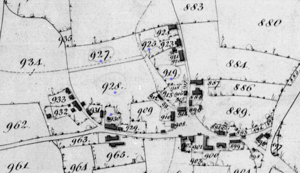
By the middle of the 19th Century the property was owned by Thomas Bushell, and by looking at his tithe holding the layout of the smallholding can be seen – see the map below, with the plots with blue dots corresponding to those he was responsible for. As well as being a smallholder Thomas Bushell was also a bricklayer.


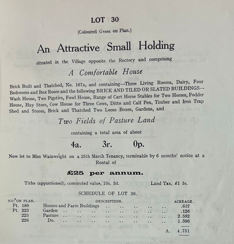
By the time of the auction in 1918 the property was defined in the sale catalogue as follows


The exact age and structure of the property needs further input, but it is known that parts of the property dates back to the 16th century. Various changes have been made over the years, with the combining and splitting of various parts. After the auction the Village Post Office was located here – it had previously been on both Church Road and on Rugby Road (where the shop remained during the inter-war period.
