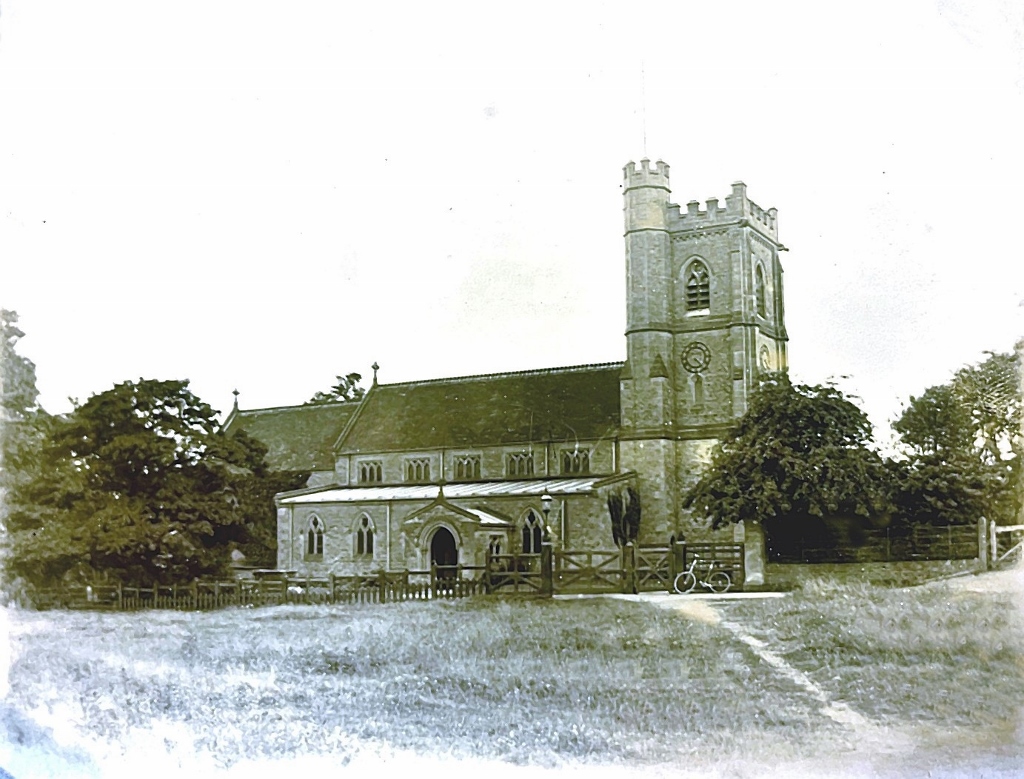
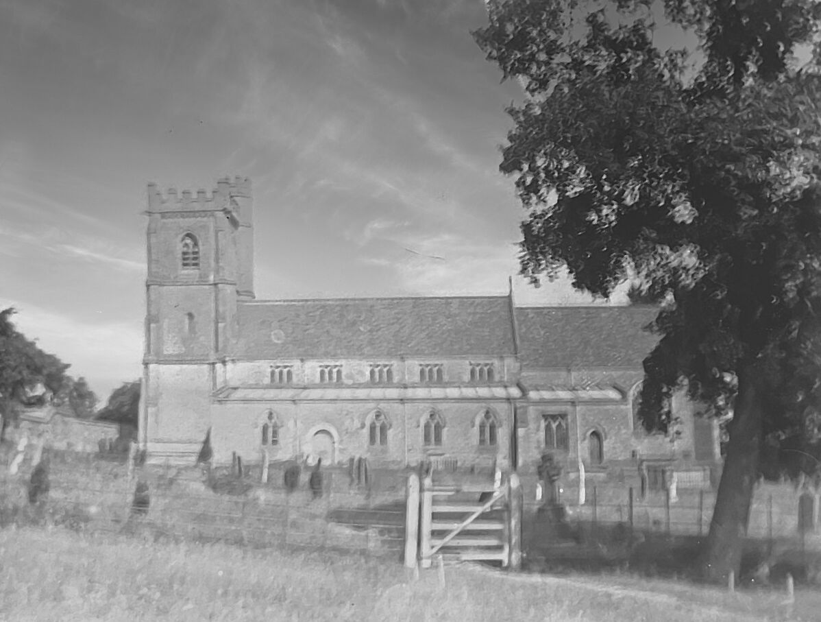
Further history and local recollections about Church Lane / Church Road will be summarised here.
Other memories of this road are referenced in village stories as follows
Other memories for this part of the village would include the various restrictions that needed to be placed during the Foot and Mouth Outbreaks in the late 20th and early 21st centuries. The daily milk collection lorry going down Church Road to Robinson’s farm in the days when such large vehicles were less seen in the village, especially in a road with only a single exit can also be prominently recalled.
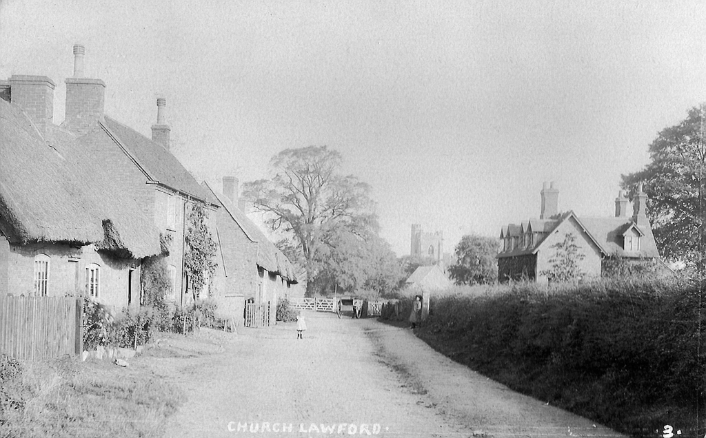
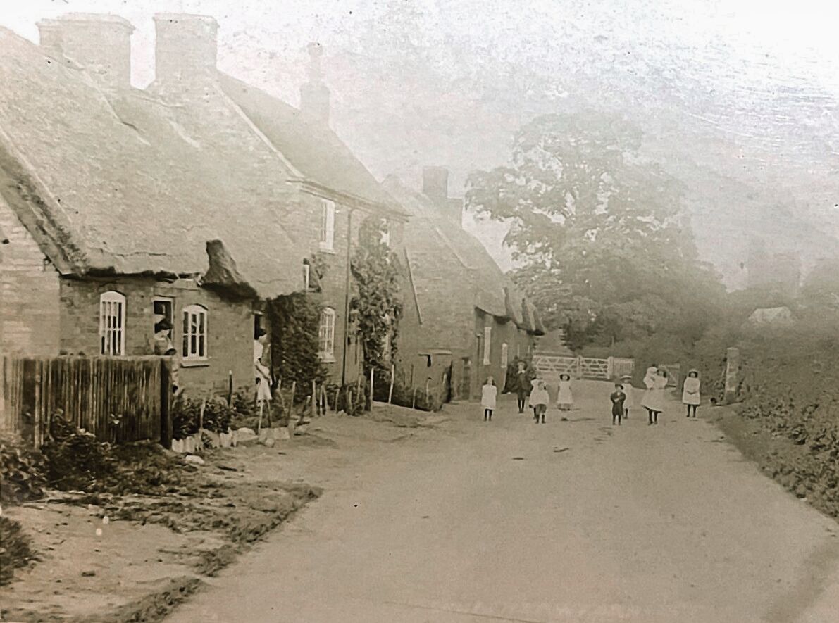
One village landmark for many years was the “White Gate” which would segregate the bottom part of the lane, allowing the cows to roam freely in the field opposite the farm, crossing that road in a fairly orderly fashion every day to be milked. Back in the late 1960’s the wooden gate (formerly a pair of gates) was replaced with a metal gate, and for a while this had a fiendish mechanism to allow vehicles to open it without the driver having to get out of the car (or van). They would “push” a central spring loaded arm with their front bumper, going at a moderate speed, which would unlatch the gate with sufficient force / speed that it would open wide and be caught on a post. The spring mechanism would initially hold the gate open while the vehicle drove through, then the hydraulics would ease enough to release the gate allowing it to close shortly afterwards. It would work in either direction, and was particularly helpful for the village blacksmith Alf Day, verger and bellringer at the church, who was in his seventies and suffering from mobility issues. His little grey Austin A35 van just about met the challenge it faced with this gate.
The first map below is one of the earliest detailed maps of the area, from the 19th Century. As well as showing the properties on the lane at that time it also shows the channel of the river believed to be related to a possible water mill being operated in that area.
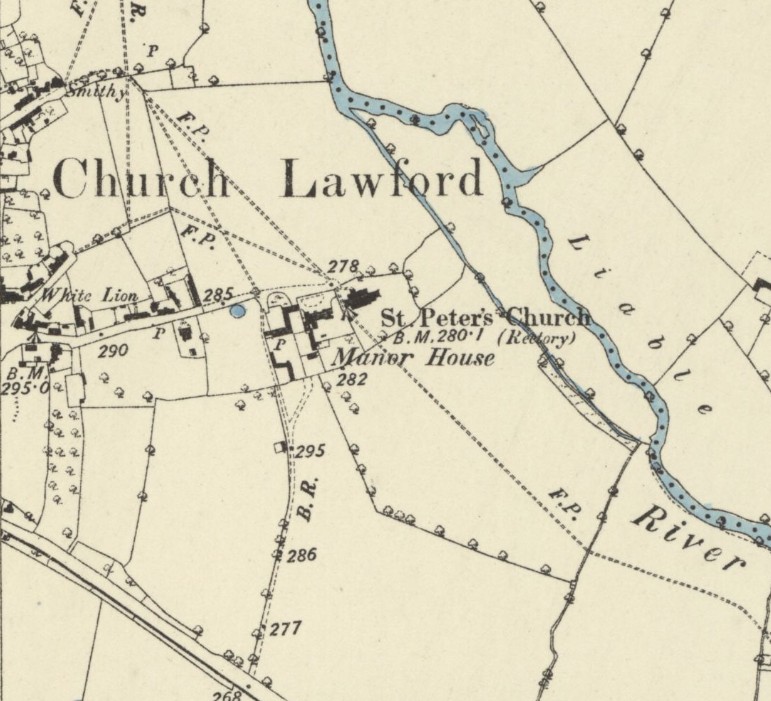
The above map is reproduced with the permission of the National Library of Scotland. It was produced in 1886. This map and more can be found via this link. There are different ways of navigating the maps there – the “Marker Pin” option is ideal for finding maps that cover a particular area, and the “Side By Side” viewer is excellent for comparing an old map with a current day view.
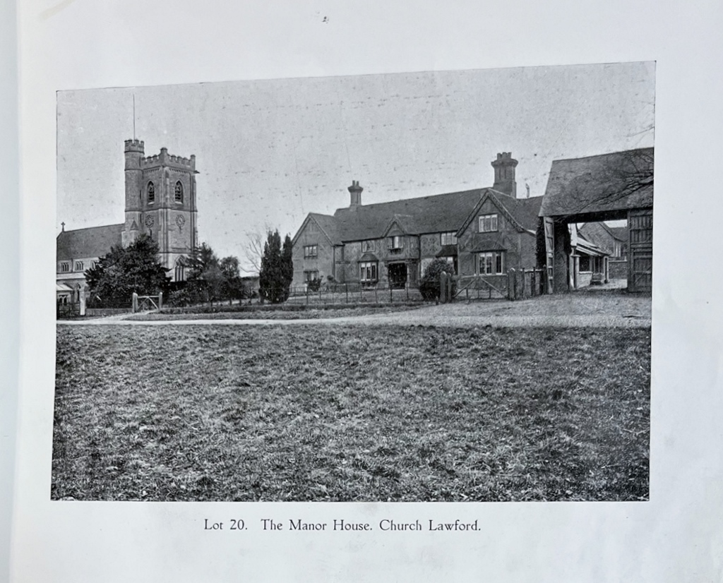
The next map is from the Village Auction in 1918, showing the various properties and their related lots in that area – more details can be found a page dedicated to Church Road lots here – or via the index and link page here.
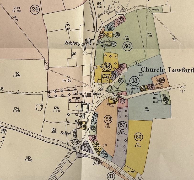
Alternatively there is a page which looks at a series of eight maps from around 1850 to 1970 help to show how the layout has changed over the years – it can be found here.
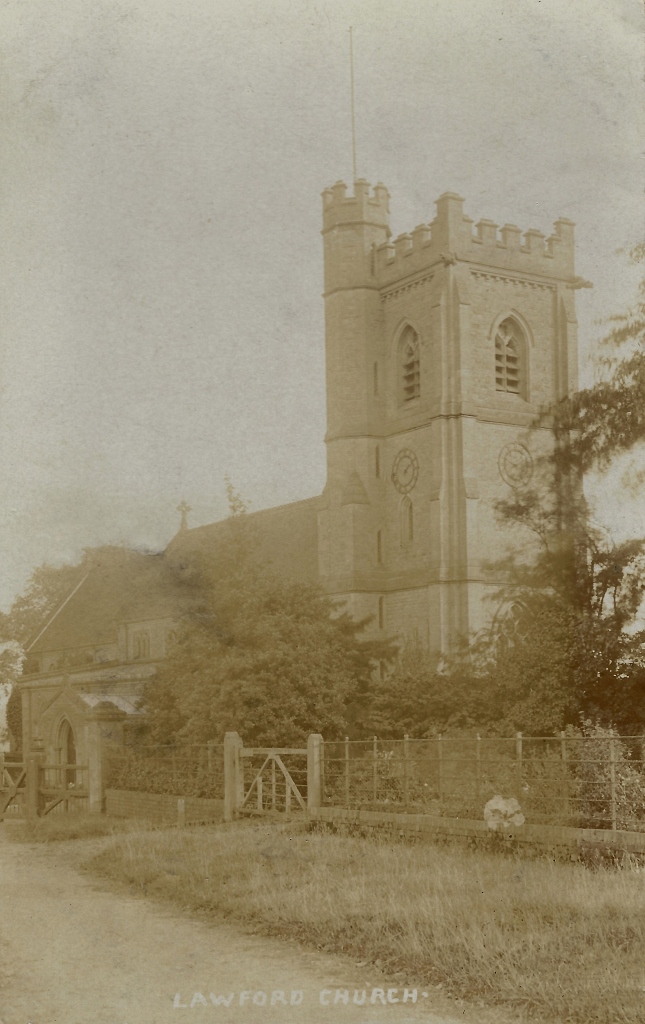
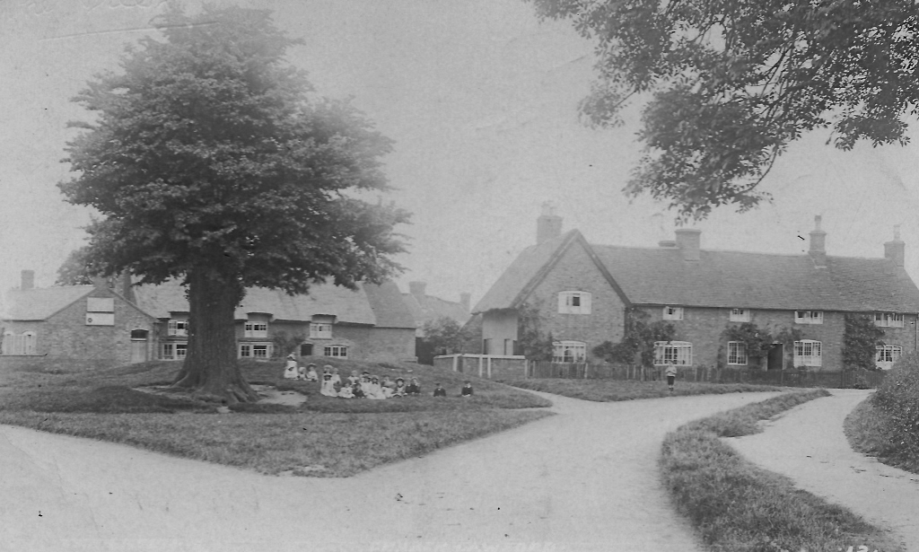
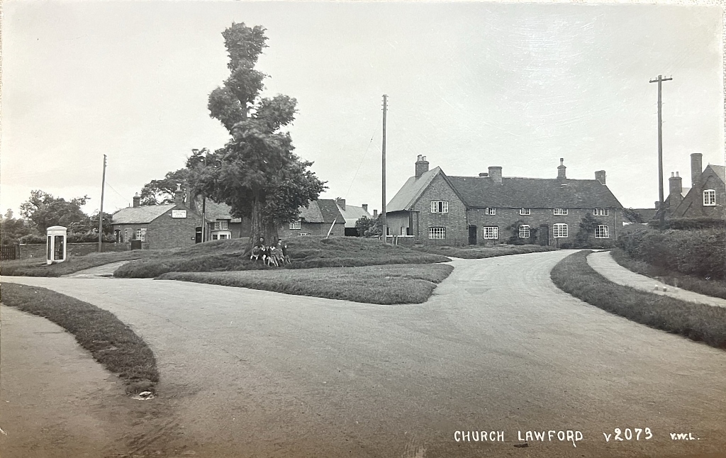
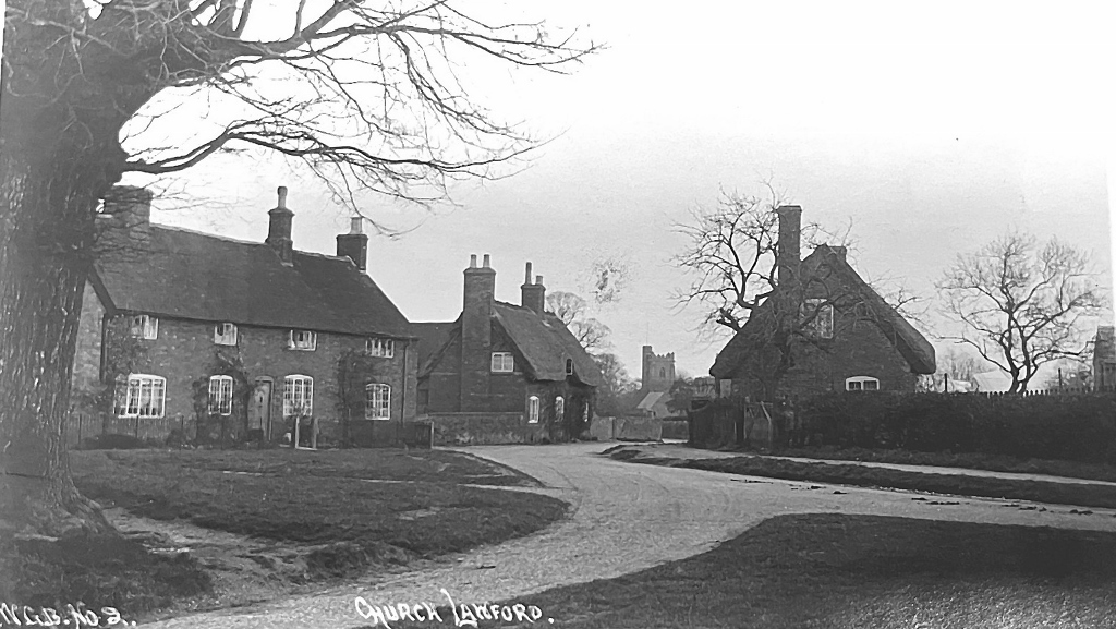
The following pictures are from various eras following the road from top to bottom
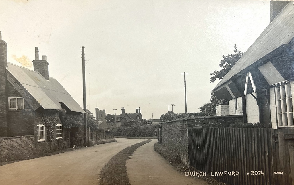
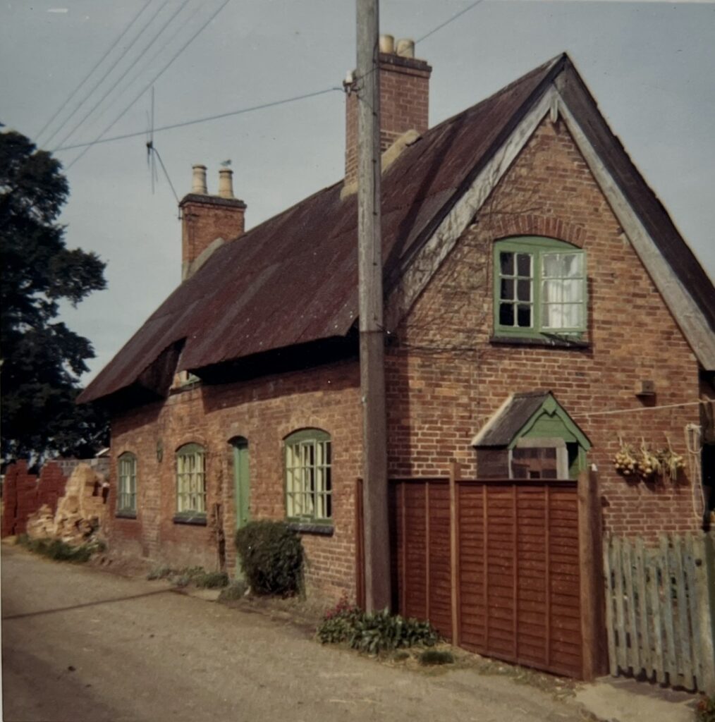

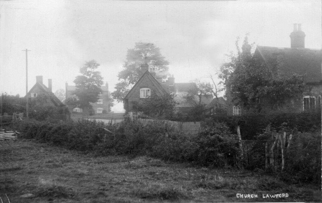
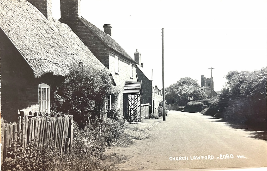
The white gate can be seen in the distance. The presence of the telegraph poles help to date the picture.
