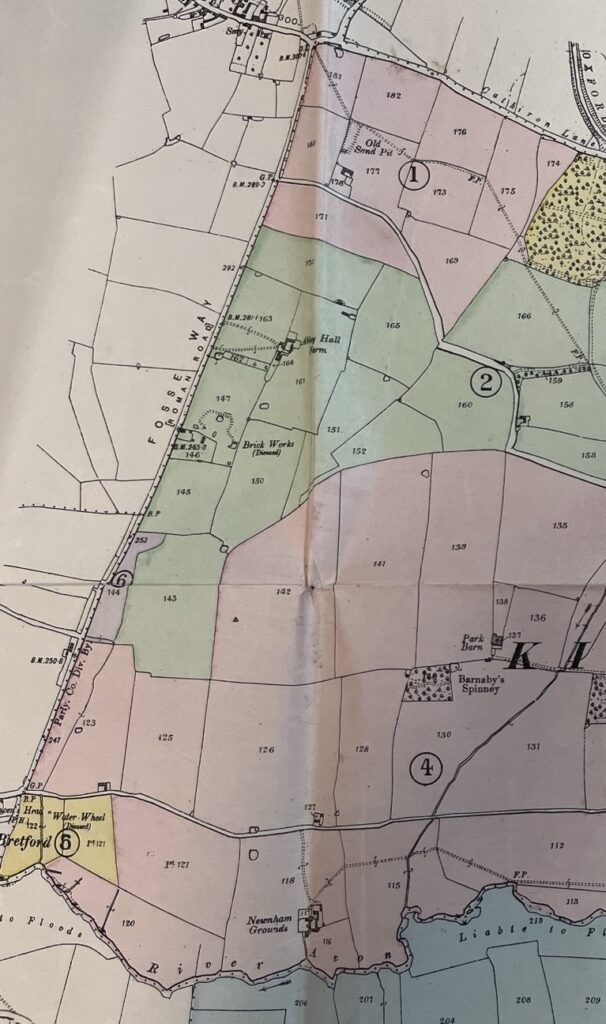
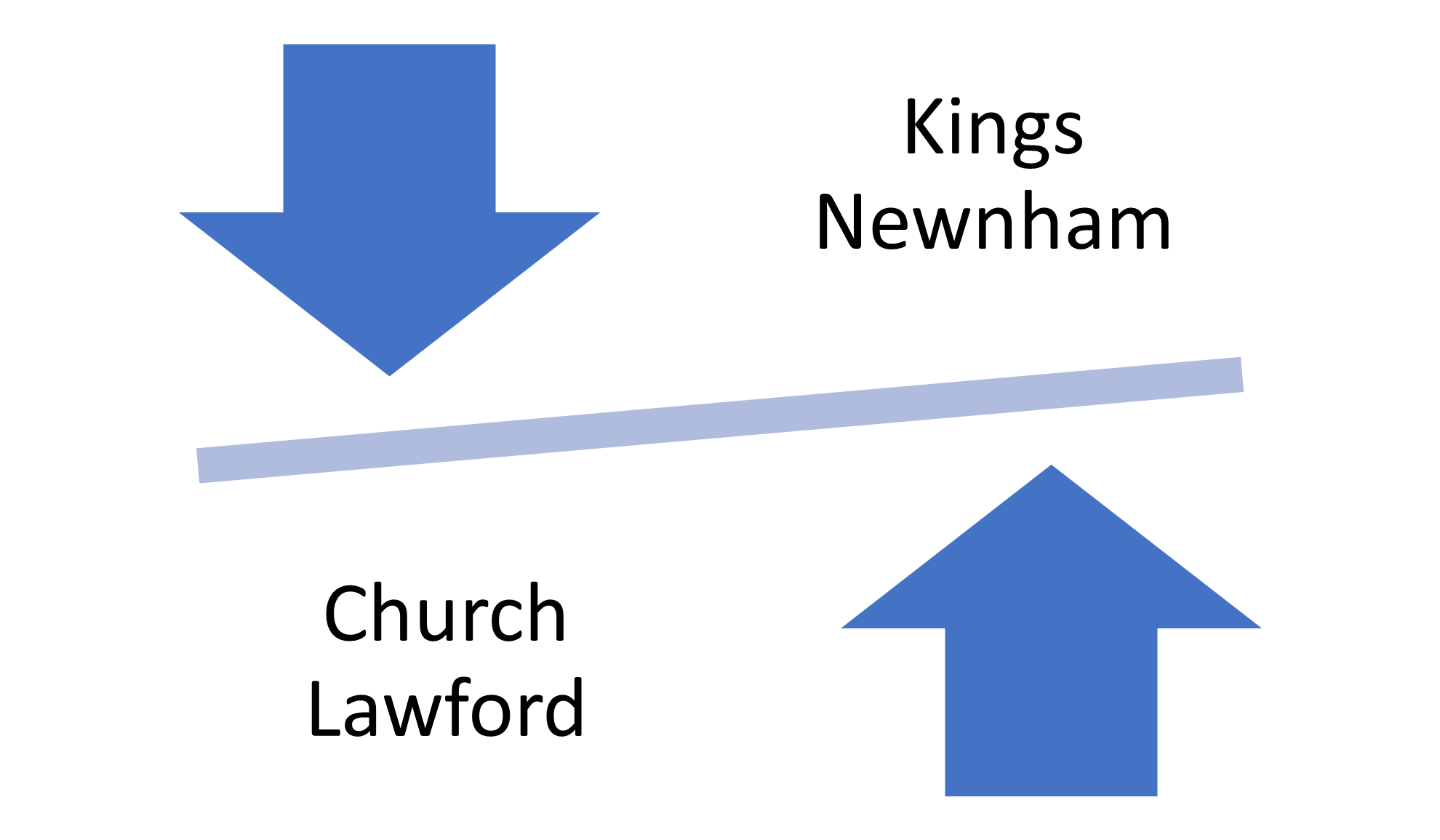
One of the western boundaries of the Kings Newnham parish is formed by the Fosse Way, with land and buildings on the east side of what is locally known as Bretford straight being part of the parish.
It is in this area where there are further confusions about road naming, but perhaps this might be clarified as this archive is reviewed by those with a better knowledge of Kings Newnham geography. For example, in the 1969 Rugby Directory, there are people listed as living within Kings Newnham parish in the following roads –
- Bretford Road, Brinklow
- Newnham Lane Brinklow
- Fosse Road Bretford
- Newnham Lane Bretford
- Fosse Way Brinklow
- Kings Newnham Road, Bretford
The map below shows the Fosse Way between Brinklow and Bretford, with the coloured sections being part of the parish of Kings Newnham – see here for details of the Sale Lots referenced on the map.

