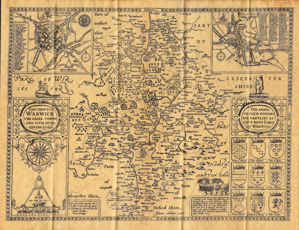
In the sixteenth and seventeenth centuries there were various studies made by eminent historians, both of the country, and of the county. John Speed produced invaluable maps in his “Theatre of Great Britain”, and William Camden looked at the history and topography of Great Britain in extreme detail in his “Britannia”, first published in 1586, such that he became known as the father of English History (see here for his maps). Sir William Dugdale added further details of the various parts of the county in 1656. All these component parts were then combined by William West to produce the History of Warwickshire in 1830, with additional early nineteenth century directory updates added by Adam Murray of the Board of Agriculture.
The Maps produced by John Speed were a series of around 66 maps, each focussed on a historic county or region, published around 1612. The complete set can be found in the Cambridge University Digital Library here.
The maps have also been published in other formats, such as shown below.
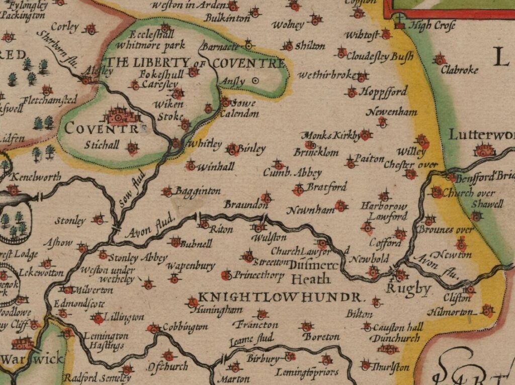
A cropped version of the local region taken from the Cambridge University Digital Library version is below