This section tries to consider the various changes to the western part of the village centre over the years. As has been mentioned elsewhere, the village sits on various joins of the Ordnance Survey grid mapping, so it is slightly more difficult than it might be to consider the villages as a whole. The caption at the bottom of each map also highlights the date of the map along with any revisions – note that some versions of the maps appear little changed to each other.
| Map | Date | Note |
| 1 | Surveyed and Published in 1886 | Ivy Cottage access appears direct to Coventry Road. |
| 2 | 1886 map with updates to 1903 | Avon House connected via a different track to main road on Lawford side of hill. |
| 3 | 1905 | Nothing north of Smithy Lane still |
| 4 | Aerial Map 1940 with update to 1950s | The Airey house area appears to be a construction site |
| 5 | Revisions to 1955 | The Airey house area appears sketched out. Pleasant View houses visible |
| 6 | 1960/1 With Revisions to 1964 | The Airey houses are plotted on the map. Modern road names in use. |
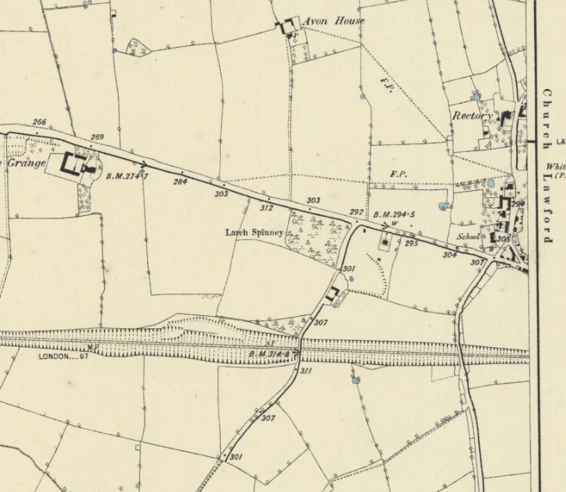
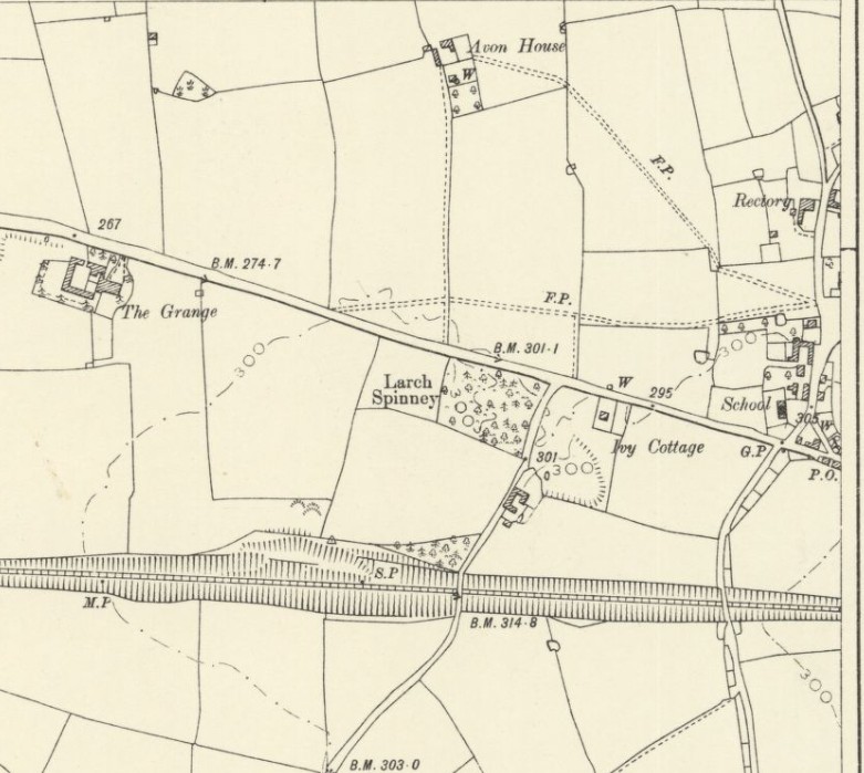
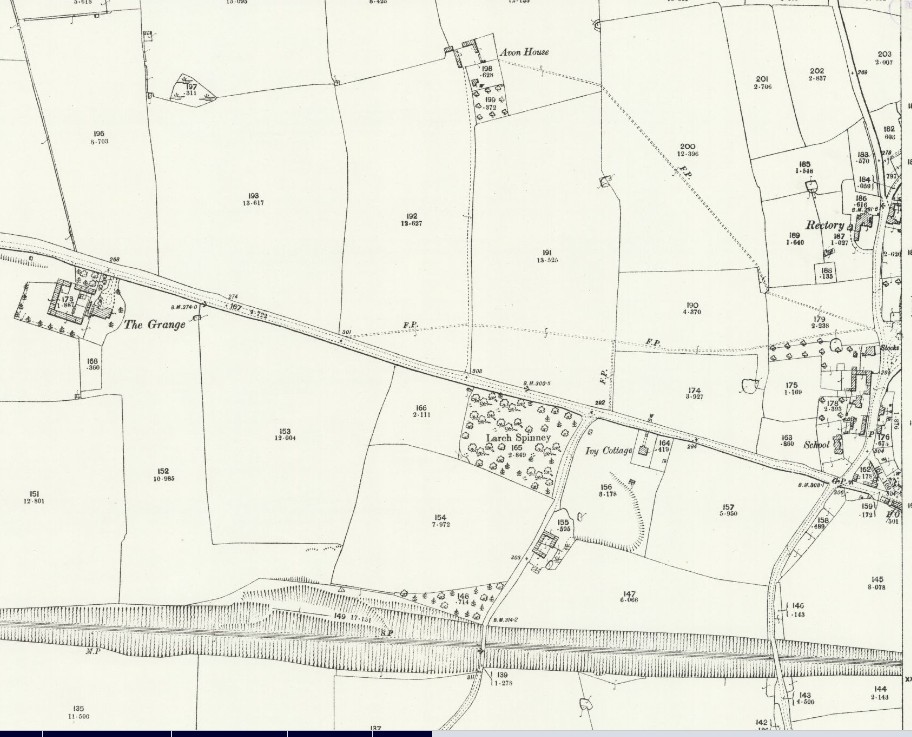
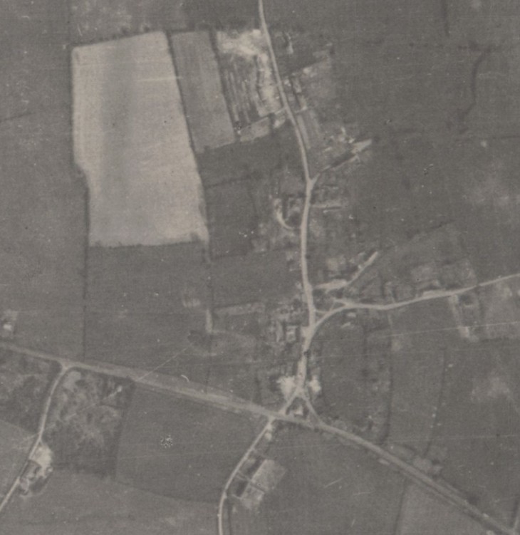
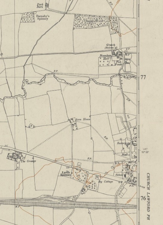
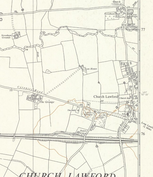
All of the above maps are reproduced with the permission of the National Library of Scotland. These maps and more can be found via this link. There are different ways of navigating the maps there – the “Marker Pin” option is ideal for finding maps that cover a particular area, and the “Side By Side” viewer is excellent for comparing an old map with a current day view.
