This page attempts to consider the status of the various villages properties over a period of around 120 years – from 1850 to 1970. It makes extensive use of Ordnance Survey Maps (full credit below), especially those of the biggest scales as made available by the National Library of Scotland Maps at https://maps.nls.uk/index.html There is an option to compare old maps with a current map in a “side by side viewer” on that site, but for the purposes of this comparison six versions of approximately the same view are presented in chronological order. These old maps can also be located directly on the NLS site – although for the interesting 25 Inches to the Mile maps, the two villages are on a corner join – meaning a need to look at four maps to look at the central areas – so this review focusses on the east side of Church Lawford village where it proved to be the biggest challenge to map the changes over the years. Other maps can be found via the Historic Maps page for interest in other areas.
The narrative for the maps is deliberately limited to allow easy scanning and comparison over the years. The village pump is a good reference point at it appears on most of the maps. To get an idea of the ownership of the properties in question around a century ago see the 1918 Auction index here (where these is a colour coded map) with the cottage numbering and occupancy discussed on the cottage numbering page here.
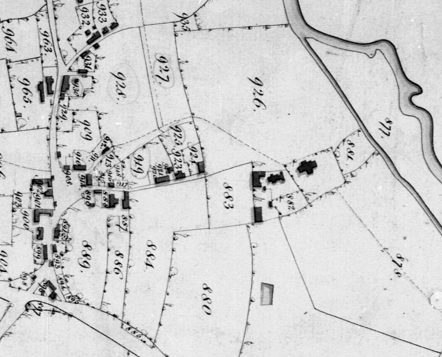
Map 1 – Tithe Map 1849
This first map is perhaps the most difficult to follow (and has been tilted to align with the other maps). It pre-dates a lot of the properties that can be considered from the late 19th century onwards but it is included for completeness. A more detailed discussion of the various tenants of these tithed properties is here.
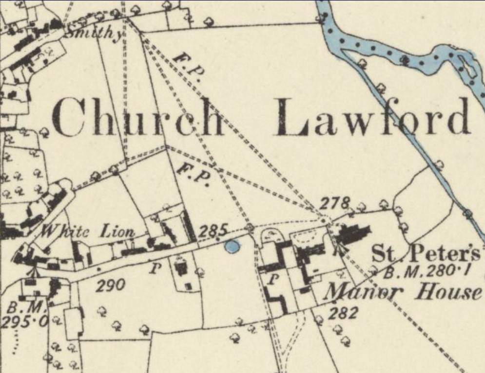
Map 2 – 1887 (below)
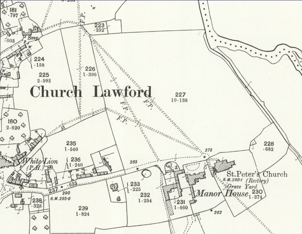
Map 3 – 1905 (below)
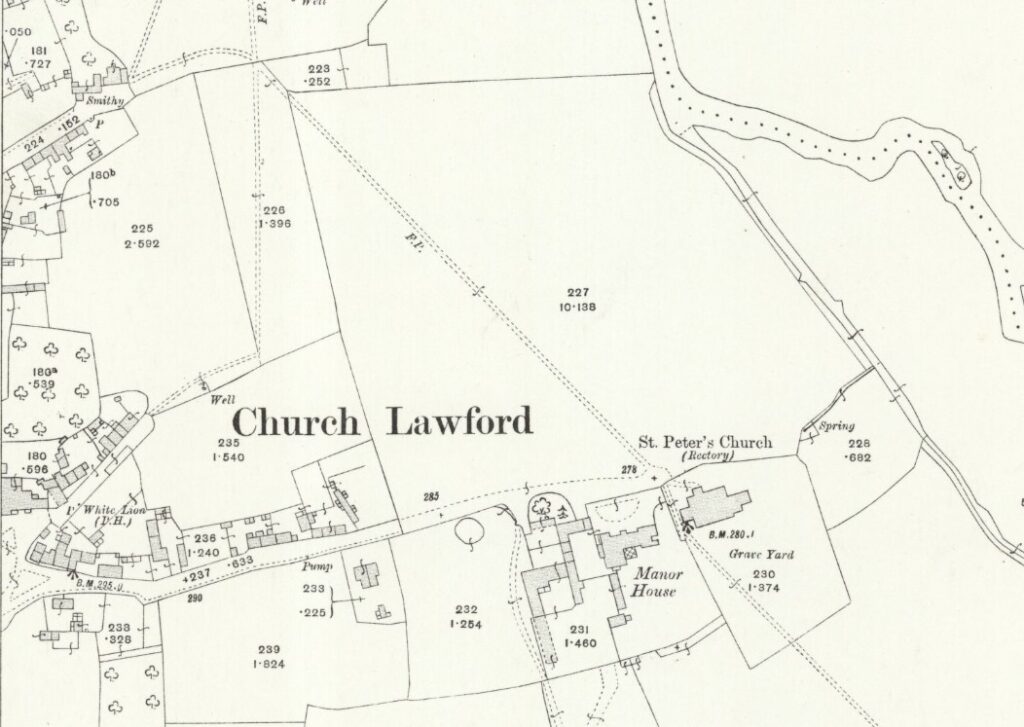
Map 4 – 1913 (below)
Map 5 – 1923 (below)
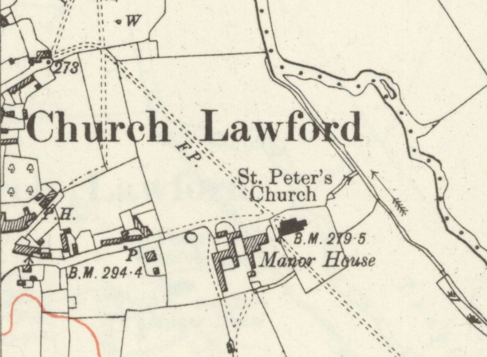
Map 6 – 1938 (below)
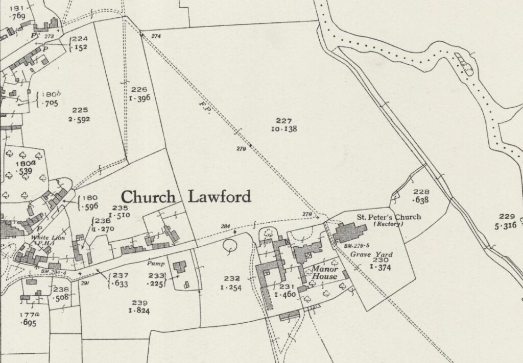
Map 7 – 1954 – below
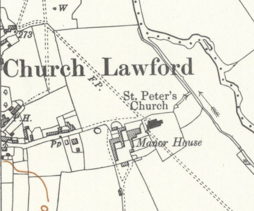
Map 8 – 1962 (below)
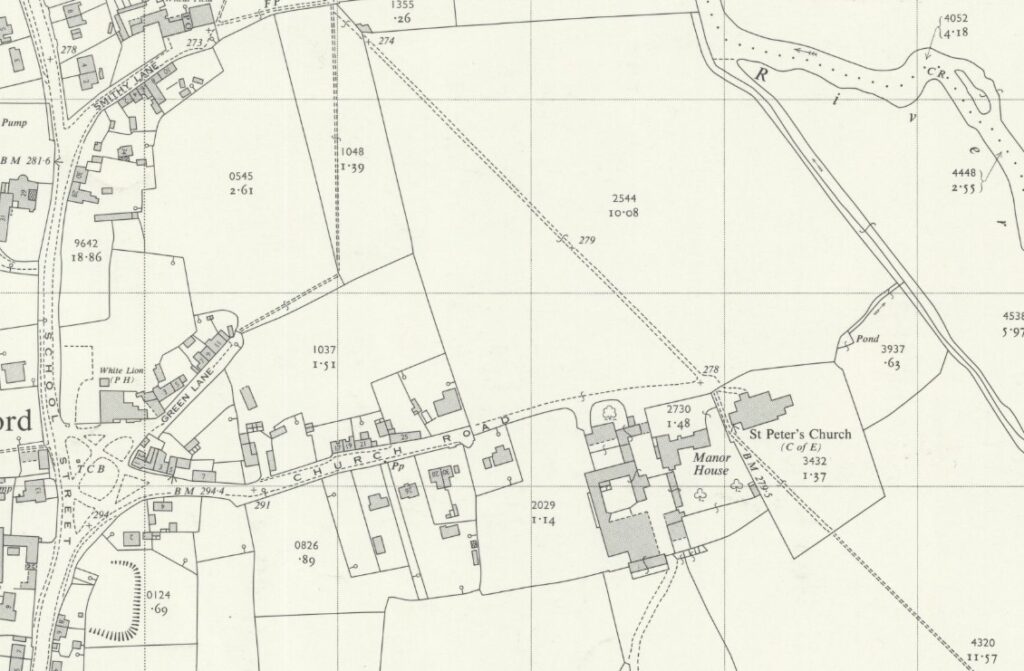
All of the above maps are reproduced with the permission of the National Library of Scotland. These maps and more can be found via this link. There are different ways of navigating the maps there – the “Marker Pin” option is ideal for finding maps that cover a particular area, and the “Side By Side” viewer is excellent for comparing an old map with a current day view.
