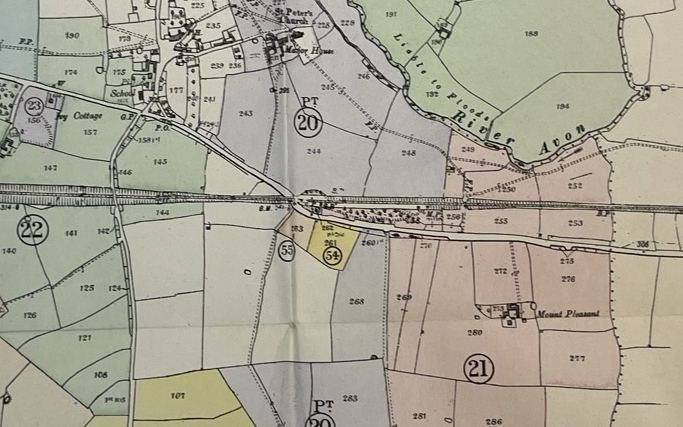
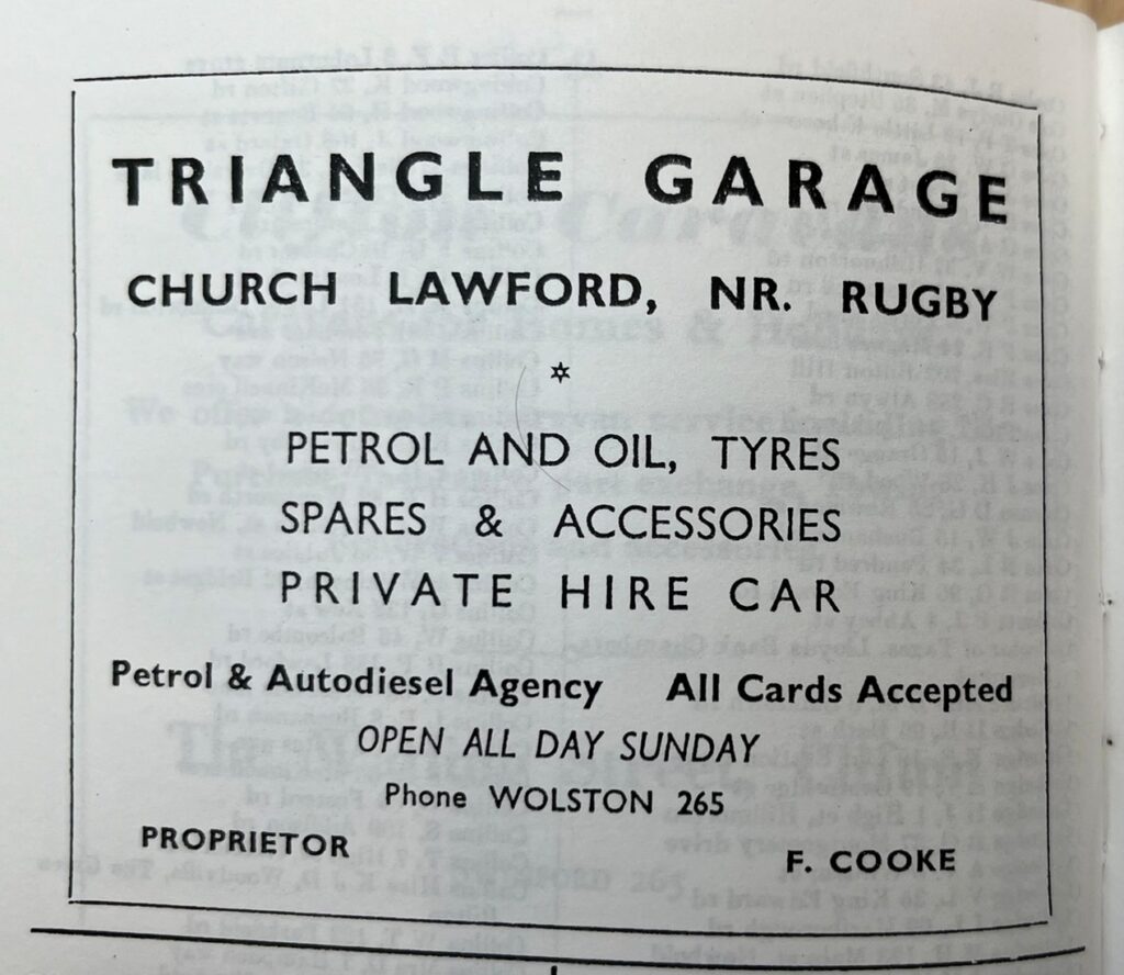
As the name suggests, Rugby Road is the section of the main Rugby to Coventry road from the central point of the triangle area (formerly the Triangle Garage) towards Rugby, stretching as far as the Parish Boundary at Mount Pleasant.
The road passes under the skew bridge, scene of many incidents due to the height restrictions, the blind bend and the engineered dip that is prone to flooding. The road was realigned in that area when the railway was constructed.
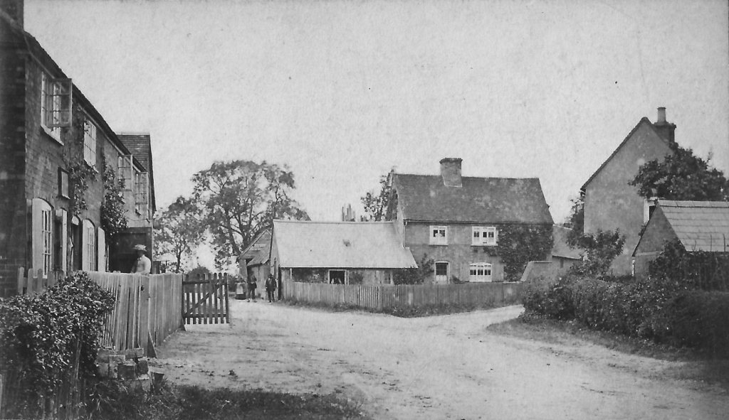
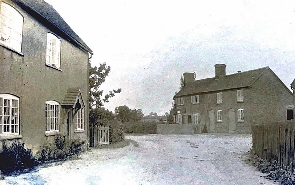
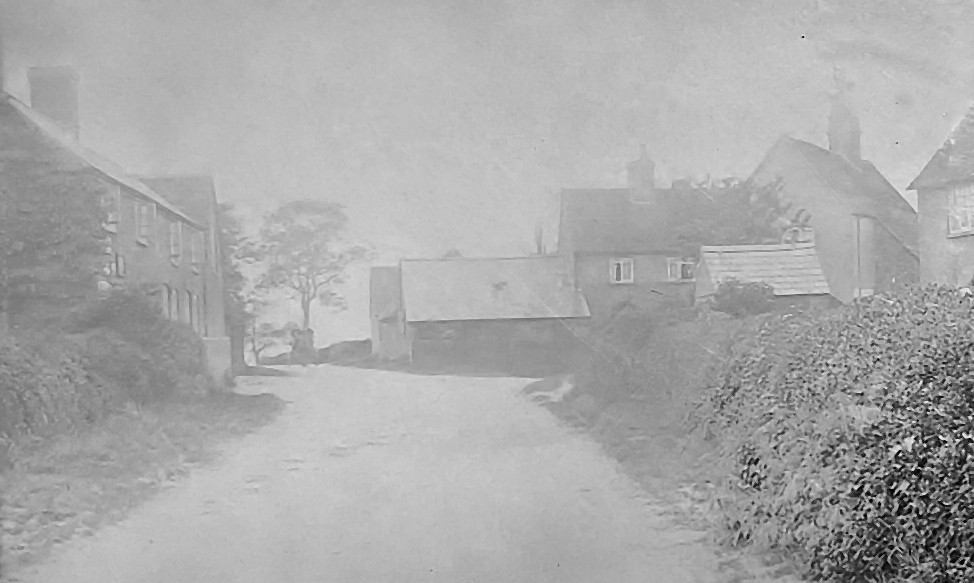
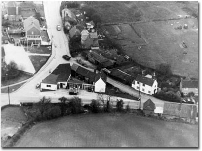
Currently there are houses on the north side of the road, with Lineside Nursery the main property to the south, but until the 1960s there were also buildings closer to the triangle on the south side of the road, firstly the village shop and latterly Sheffs Cafe. There was also a section of Glebe land in that area. There is a long established footpath that runs to the former Manor Farm area, formerly a farm track.