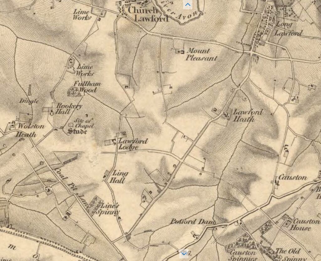
In the original Ordnance Survey map of the area from the 1830s there is a reference to a chapel on Dunsmore / Wolston Heath, towards the southwest corner of Church Lawford Parish, not far from Rookery Hall Farm.
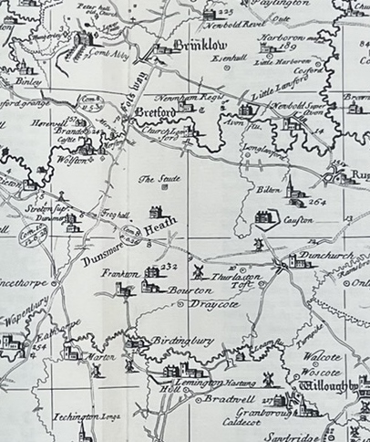
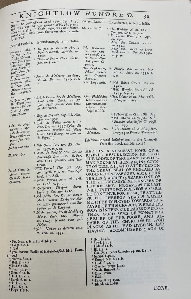
There is a reference to this chapel in the ancient historic writings of William Dugdale titled “Antiquities of Warwickshire”, first published in 1636, and updated in 1730. It included a map which located the chapel. The writings need further study to establish the origins of this chapel. It is discussed on the Warwickshire Timetrail here.
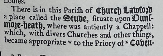
The text goes over two pages, and it is not clear if the following text relates to the Stude.
Keith Sinfield also researched and commented on the Stude in his findings for the Village Newsletter in 2014, as detailed here.
